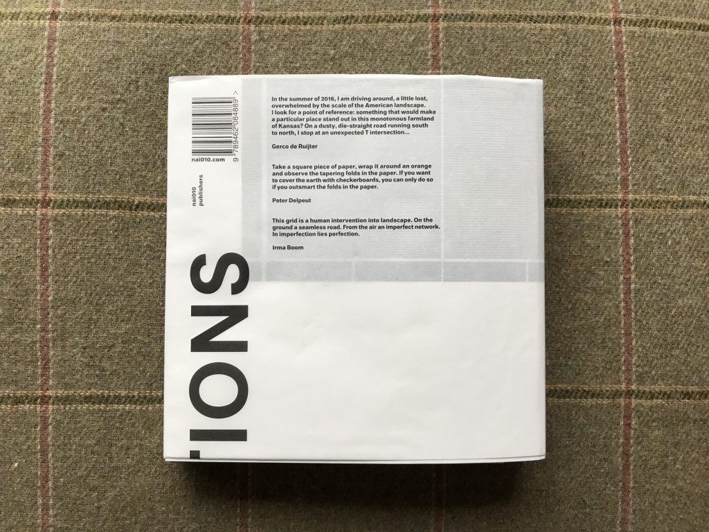
JTF (just the facts): Published in 2019 by nai010 Publishers (here). Paperback, 452 pages, with 150 color reproductions/illustrations. Includes a text essay (in Dutch/English) by Peter Delpeut and a visual essay by Peter Delpeut and the artist. Design by Irma Bloom. (Cover and spread shots below.)
A short film associated with the project can be found here. An exhibition of this body of work was held at the Fotomuseum Den Haag (here) between May 25 and September 1, 2019.


Comments/Context: If you get off the interstate highway somewhere in the American Midwest and drive out into the country a bit, probably the first thing you’ll notice is the vastness of the land. It spills out before you in wide sweeps that run all the way to the horizon, filled by grasslands, prairies, gently rolling hills, and dusty desert regions, and the sky looks bigger in every direction than any one human brain could possibly comprehend. And if you get back in your car and start driving, the second thing you’ll notice is that the roads are invariably arrow straight, stretching for miles on end in seemingly perfect gridded alignment.
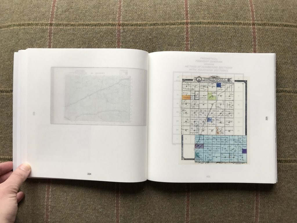
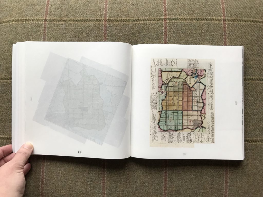
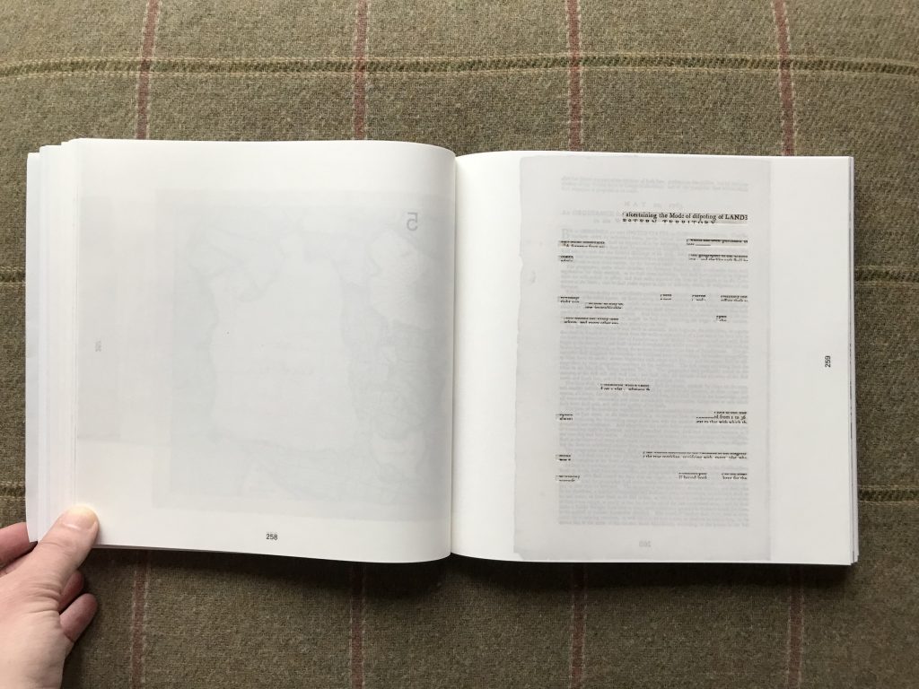
This grid provides the subject matter for Gerco de Ruijter’s recent photobook Grid Corrections, but to fully understand de Ruijter’s particular interest, we need to go all the way back to the late 18th century for a quick history lesson. In the period after the American Revolution, additional states were joining the union to the West of the original thirteen colonies, and there was a deliberate effort to encourage people to move out to those “newly” settled lands. This required some kind of orderly ownership structure for the land, and this in turn required a system for creating those parcels, including having them accurately surveyed. The answer to this problem came from none other than founding father (and map lover) Thomas Jefferson, and ultimately took form as the Land Ordinance of 1785.
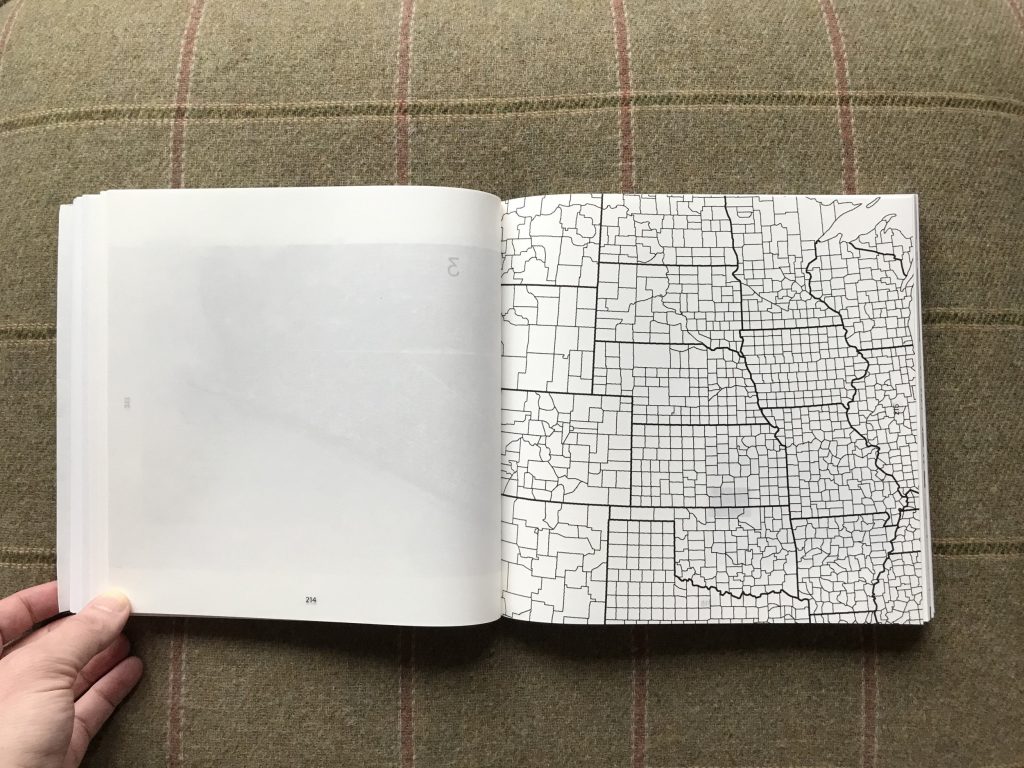
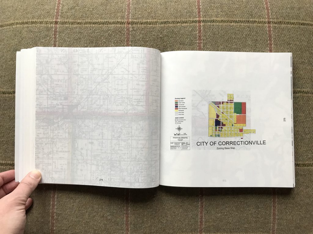
The new land registry system (which became known informally as the Jefferson grid) essentially laid a strict geometric grid over the surface of the land, generally without regard to the actual topography, so rivers, hills, and other features of the land lie across and through these artificial boundaries. Parcels were divided up into squares a mile on each side, and those squares were then gathered into groups (forming larger plots, towns, and other governmental regions), the map ultimately looking like a nearly perfect graph paper array. The roads that sprung up between the parcels necessarily followed their borders, creating the ruler-straight roadways that still exist today.
The problem with all of this is that while this elegantly simple grid system was geometrically precise, it was designed for a flat world, and the Earth is, as we all remember, round. So if for example, we align the grid with latitude and longitude lines, those lines aren’t perfectly parallel, so as we head northward, the lines fractionally narrow to accommodate the curvature of the planet. What this meant on the ground in the American Midwest is that the grid needed to be “corrected” with parcels that weren’t of the exact 1×1 mile size; practically, this then led to offset T junctions in the otherwise straight roads every 24 miles or so to account for the drift.
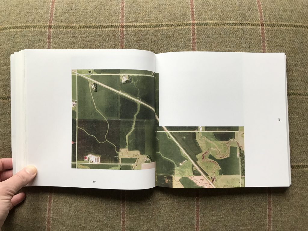
It is these misalignments that caught the eye of the Dutch photographer Gerco de Ruijter. De Ruijter has spent his artistic career exploring land-based geometries as seen via different varieties of aerial photography, particularly images made from lower flying balloons and kites rather than airplanes. But in recent years, he has been drawn into the digital depths of Google Earth, increasingly using its satellite imagery for his artistic journeys. Grid Corrections gathers together a set of jagged block pictures that capture the point where two off-kilter squares come together or intersect. Like Tetris tiles or zig zags, they document the geographic peculiarities that are necessary to make the rest of the American property system stay crisp and ordered.
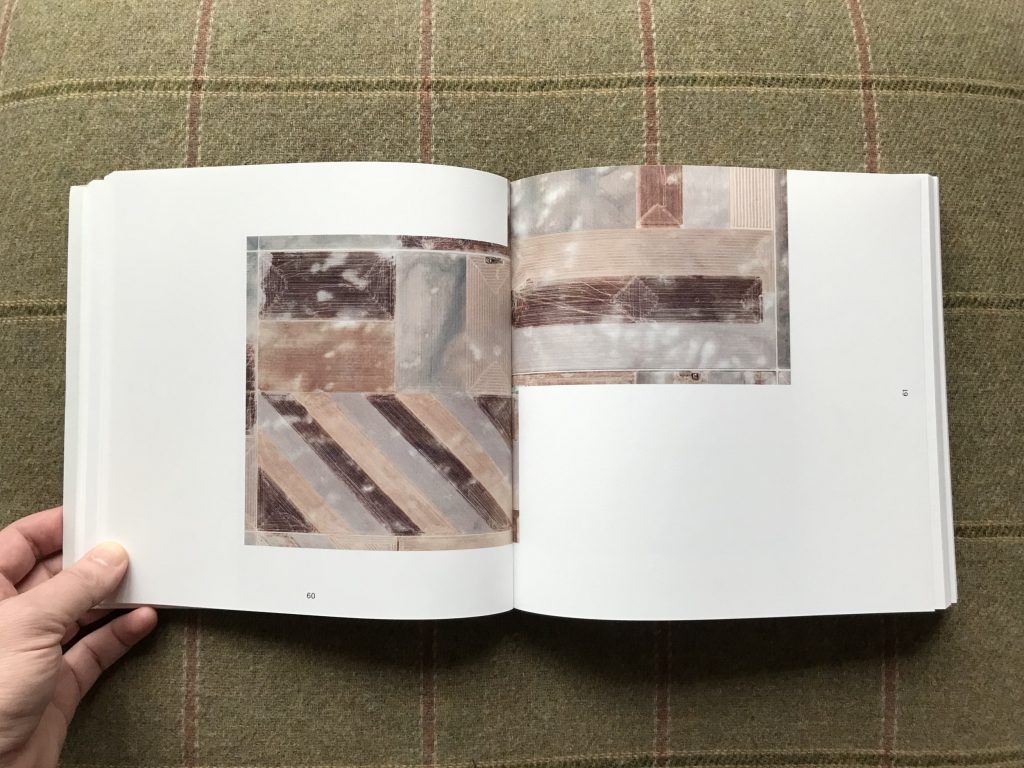
De Ruijter’s images take aerial photography to its logical extreme – while William Garnett, Terry Evans, and more recently Edward Burtynsky and David Maisel have all taken to the air to show us the elegant patterns and geometries that are visible only from a vantage point high in the sky, de Ruijter pushes that perspective to its most strict and rigid endpoint. His images have exactingly squared off edges and clear straight down flatness (except for a few that are interrupted by dappled clouds), essentially removing the overt hand of the artist. His works consistently excise two interlocked digital squares from the surrounding visuals, highlighting the point of correction that connects them.
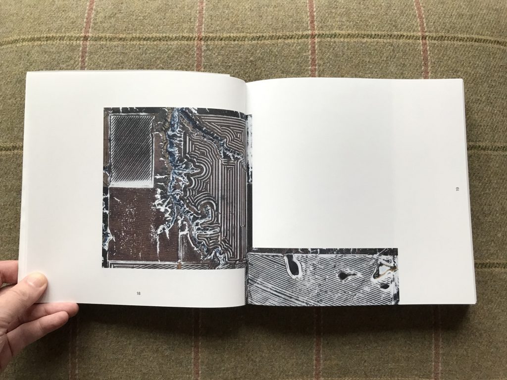
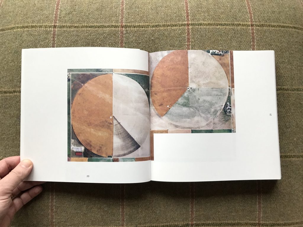
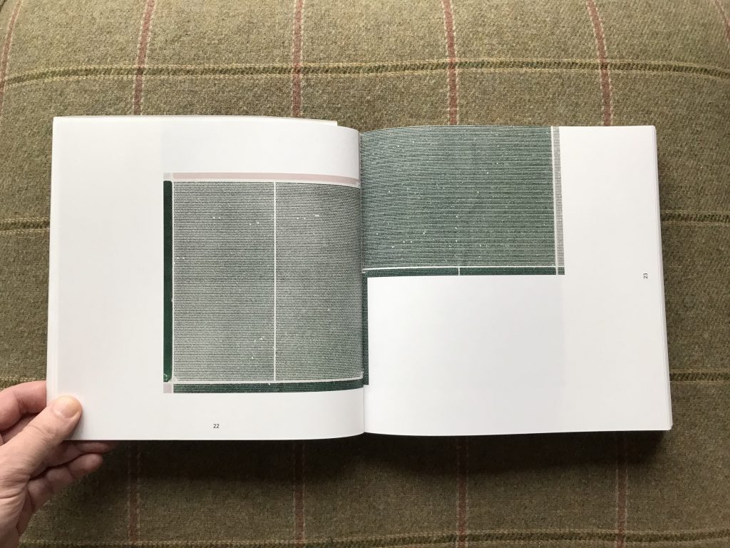
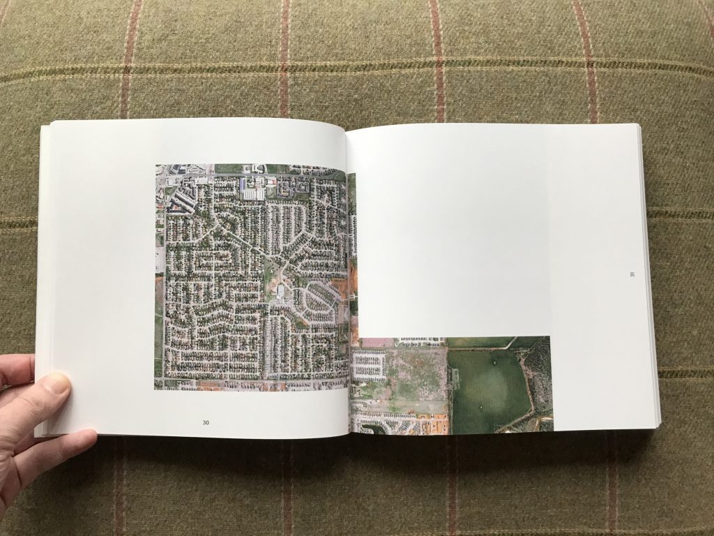
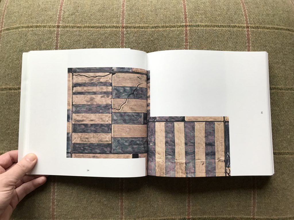
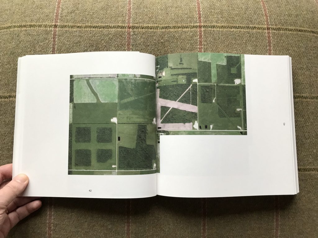
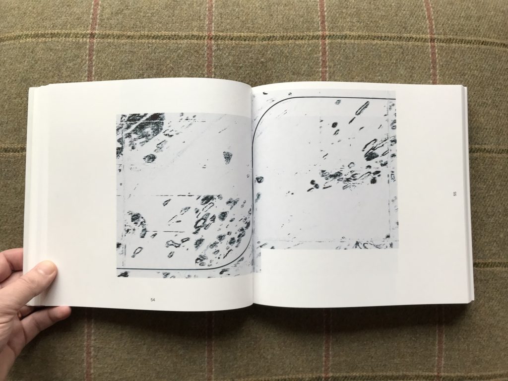
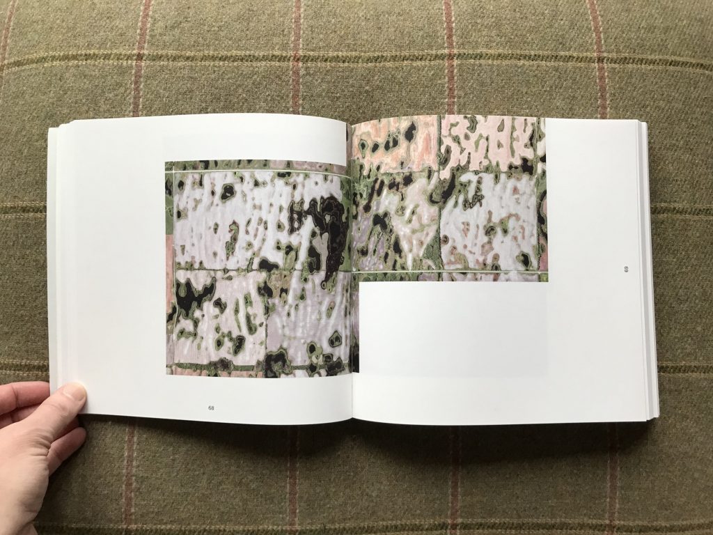
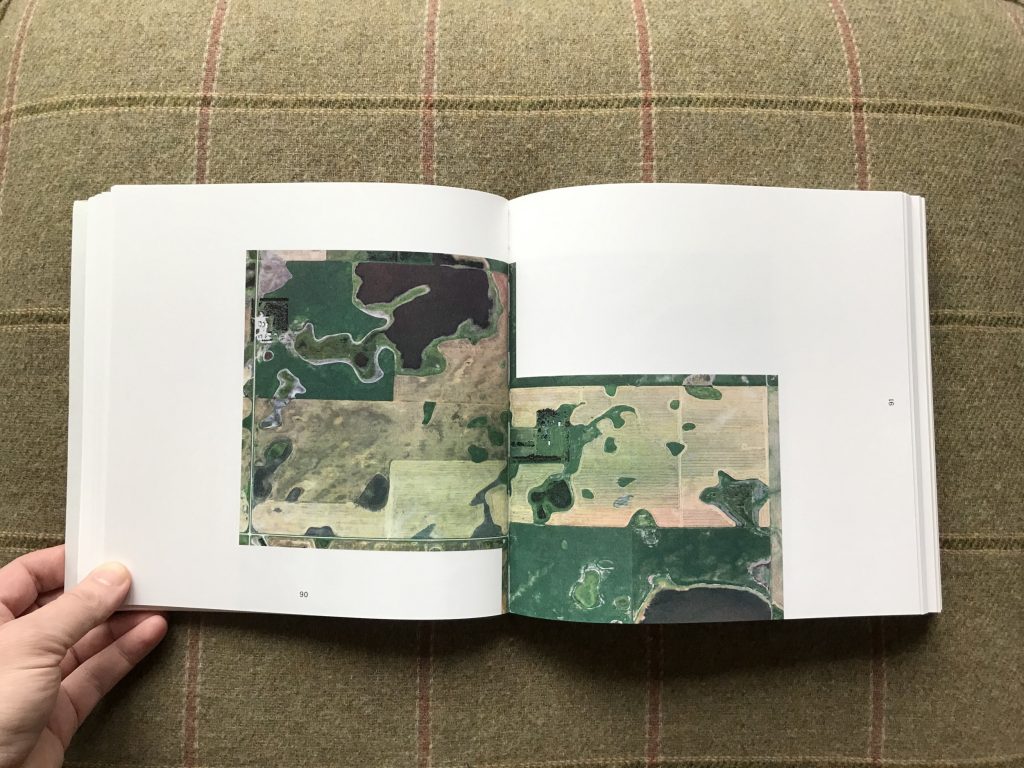
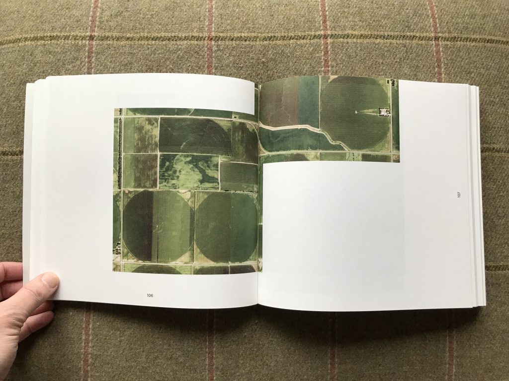
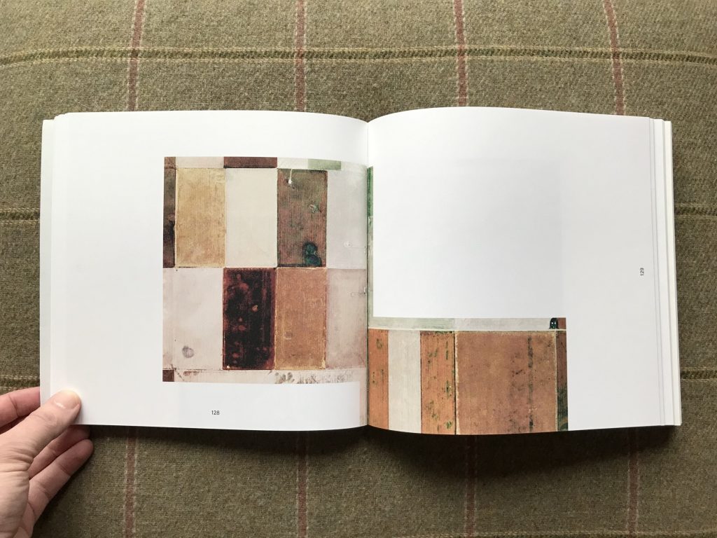
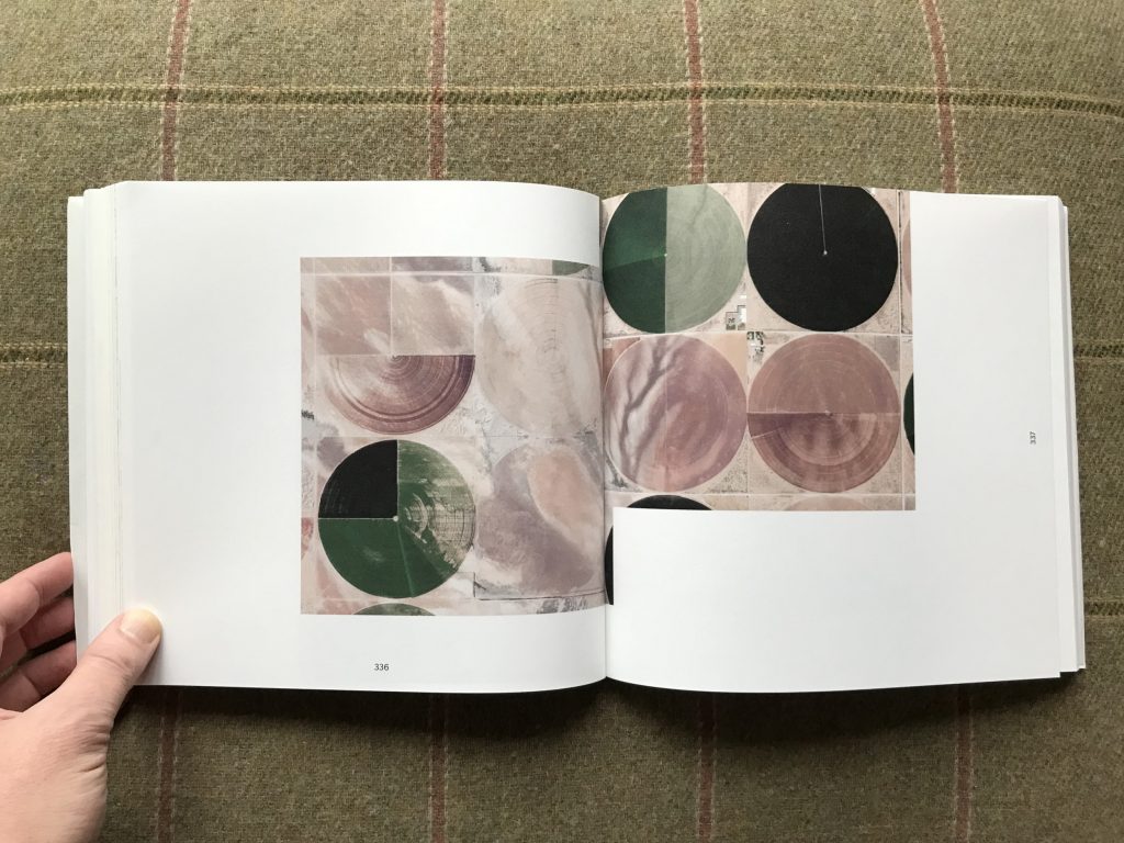
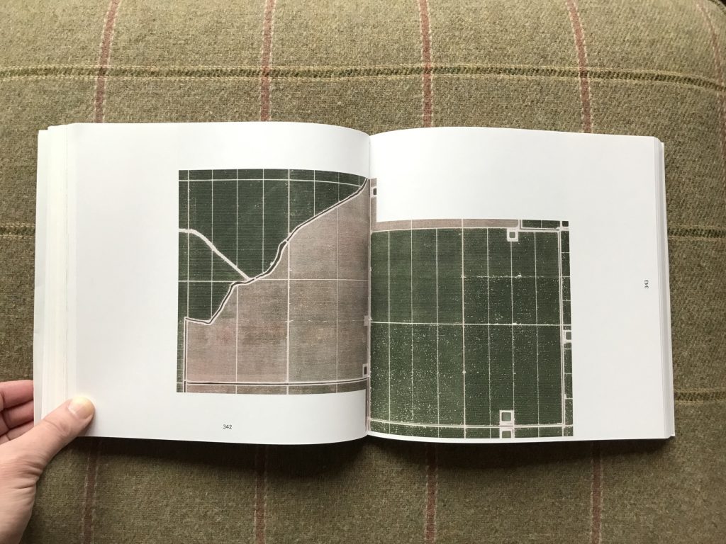
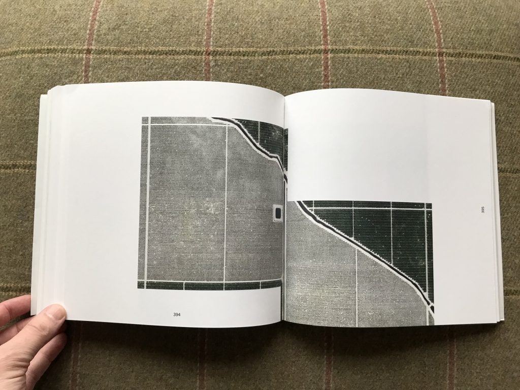
This approach leads de Ruijter to compositions that turn landforms into studies in geometry or texture. Many are variations on a square, taking their lines from the division of farm fields and the furrows of plowing. Depending on the season, these blocks and rectangles might be white from snow, stubble grey in winter, light brown in the dry summer, or a range of subtle yellows and greens during the growing season. Perfect circles are carved out by rotating irrigation, and when new suburbs intrude on the farmland, streets and neighborhoods create their own distinct curving patterns. From such a distance, de Ruijter’s forms can recall the arranged color blocks of Sean Scully, the minimal linearity of Agnes Martin, or perhaps even the densely ordered circuitry of a semiconductor design.
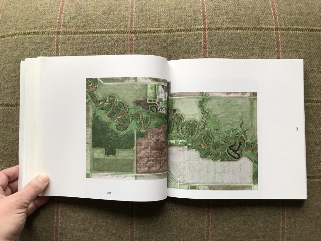
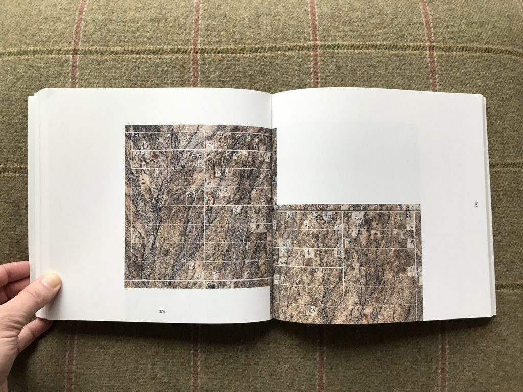
Many of the less austere and more dramatic compositions are found when Mother Nature refuses to cooperate. Dry washes, riverbeds, rocky hills, and clumps of uncleared forest slash through the perfect squares, unconcerned that they cross boundaries or disrupt the grid. These areas are a stark reminder of the arrogance of this scheme, and of the human delusion that straight lines and hard corners could somehow contain the land. Mother Nature always wins such a fight, and the brash interruption of a deep chasm or an extending finger of stubborn forest breaks up the geometric monotony with a splash of uncontrolled improvisation. And once in a while, even the government breaks the rules of grid, allowing highways to dash across open spaces at steep angles.
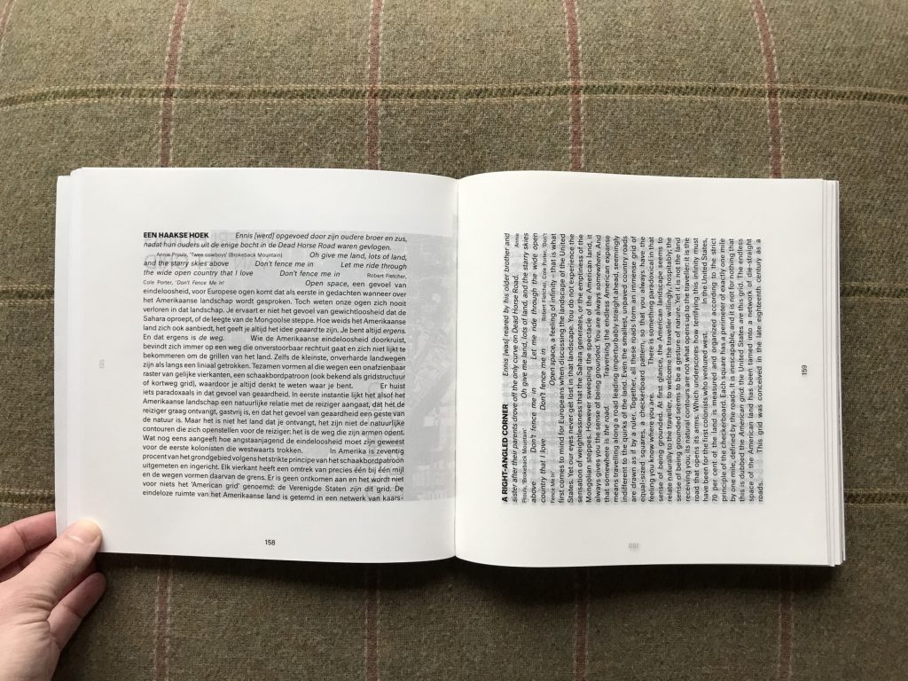
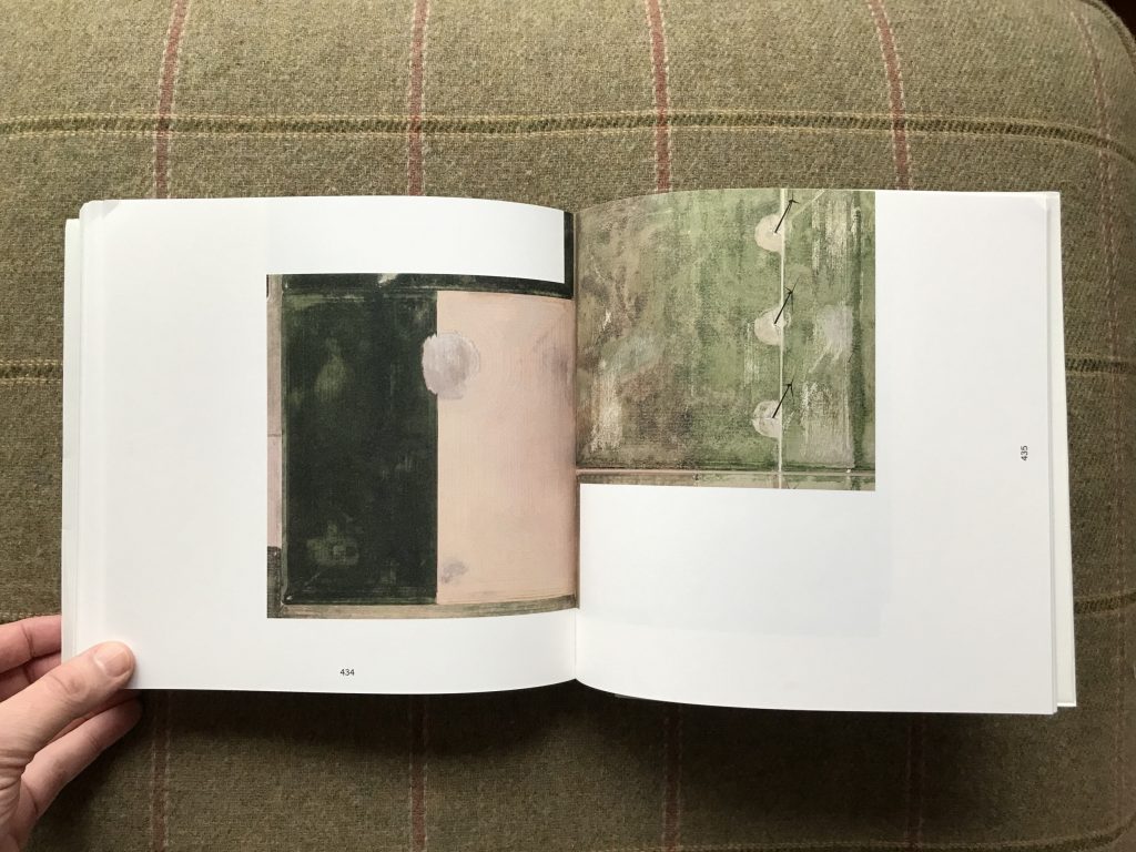
With each of de Ruijter’s compositions taking the form of an offset double square with a varying degree of separation, the design of Grid Corrections needed to accommodate an unusual range of tiled shapes. It does so with significant flair, by placing each image across a full spread, with the “correction” area of overlap basically in the gutter. The effect is that each image is bisected by the construction of the book, the jagged offset mimicked by the two square sheets of paper and the gutter. Some of the more widely offset images are allowed to drift off the page toward the top or bottom, thereby creating another cropping effect. Other design details play with this sense of squareness and rotation, with odd and even page numbers given different orientations and the essay split into two interleaved languages, again using a quarter turn of rotation to keep the two from getting confused. A few pages also use cut-throughs to highlight certain phrases or telescope down to specific plots. Overall, it’s an inspired and elegant design, whose only flaw is a flimsy transparent jacket that got crinkled almost immediately.
De Ruijter’s rigidly abstracted landscapes are clearly the result of a highly systematic approach, and that discipline is part of what makes the photographs so engaging – they use structure to bound the artistic problem, which then drives each composition to be an expression inside that set of constraints. The “correction” part of the equation smartly throws a wrench into the works – images of endless perfectly gridded farmland would get dull quite quickly, so the introduction of the rogue variable of the offset adds a sense of uncertainty to the outcomes. Each image is therefore an alternate local “solution” to the inherent problem with the grid as a whole, and de Ruijter’s photographs highlight that sense of practical American “making it work,” whatever the particular circumstances. In this way, Grid Corrections pleasingly oscillates back and forth between landscape and abstraction, and between methodical geometric order and the necessary eccentricities of real world adaptation.
Collector’s POV: Gerco de Ruijter is represented by Cokkie Snoei Gallery in Rotterdam (here). His work has little secondary market history, so gallery retail remains the best option for those collectors interested in following up.